



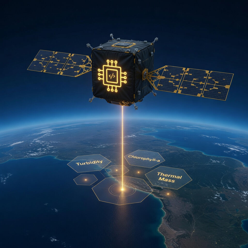
Two very different kinds of data show up whenever aquaculture monitoring on a large lake gets discussed: satellite Earth observation and in-situ sensors, physical instruments sitting in or near the cages themselves. They get talked about as competing approaches more often than they should. In practice, they answer different questions, and a monitoring approach that uses only one of them is missing half the picture.
What satellite data actually gives you
Public Earth observation programmes like the EU's Copernicus Sentinel missions provide freely available imagery that can be processed into proxies for water quality: chlorophyll-a concentration (an indicator of algal activity), turbidity, and surface temperature, across an entire lake surface at once.
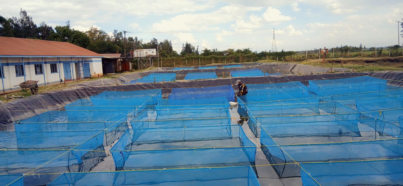
The strength here is spatial coverage. A single satellite pass can show you where an algal bloom is forming across all of Winam Gulf, not just at the one or two points where you happen to have a physical sensor. For a county government, an NGO, or a research programme trying to understand lake-wide trends, or trying to decide where to prioritise limited in-situ monitoring investment, that spatial picture is genuinely valuable and something no small number of point sensors could replicate at the same cost.
The weakness is temporal resolution. Depending on the satellite and atmospheric conditions (cloud cover blocks most optical imagery entirely), useful passes over a given spot might only be available every few days. An upwelling event of the kind we described in our first post on Winam Gulf fish kills develops and resolves within hours. Satellite data, by itself, will not catch that. It can show you that an area has had a persistent, worsening algal bloom over the preceding weeks; it cannot tell a farmer to stop feeding at 9 p.m. tonight.
What in-situ sensors actually give you
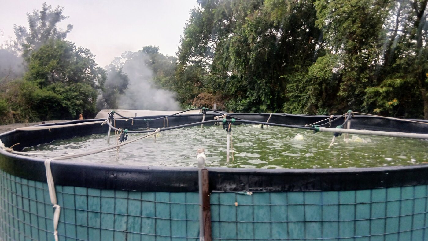
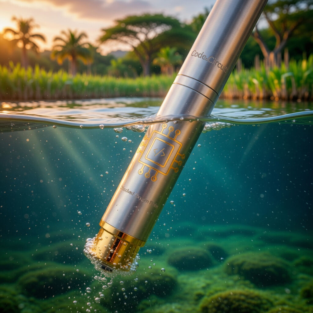
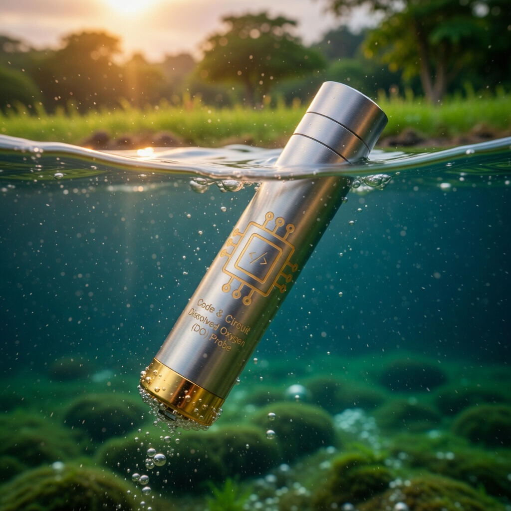
A dissolved oxygen, temperature, and turbidity sensor node physically deployed at a cage gives you the opposite tradeoff: extremely high temporal resolution (logging every few minutes, if you want) at exactly the point that matters most to that specific farm, but zero visibility into what's happening a kilometre away at another farm's cage, let alone across the whole gulf.
This is the layer that can actually trigger an SMS alert in time to act: stop feeding, aerate, or prepare an early harvest, because it's watching the one thing a farmer needs to know about right now, continuously, at the exact location their fish are living.
Why fusing them matters more than choosing one
The two data sources are complementary along exactly the axis where each is individually weak:
- Satellite data tells you where to look. A persistent bloom signature developing across a section of the gulf, visible from space days before it becomes a crisis at any single farm, is a signal worth deploying or prioritising in-situ sensors toward, or worth warning a whole cluster of farms in that area.
- In-situ sensors tell you when to act. Once you know where risk is concentrated, continuous local monitoring is what actually catches the hours-scale event and gives a farmer time to respond, in a way no satellite revisit schedule can match.
- Satellite data provides context for a single sensor reading. A DO reading that looks unusual in isolation is easier to interpret against a broader picture of what's happening lake-wide at the same time: is this an isolated local event, or part of a wider pattern affecting the whole gulf?
For an evaluator, county government, or partner assessing an aquaculture monitoring proposal, this is the practical distinction worth asking about: does the system rely on one data source alone, or does it combine wide-area context with point-level, real-time ground truth? A programme built on satellite data alone will miss fast local events. A programme built on scattered point sensors alone has no way to prioritise where to expand or to understand whether an event is isolated or systemic. The two together cover for each other's blind spot.
What this looks like in practice
A practical fused monitoring setup for a stretch of lake shoreline typically means: continuous in-situ sensors at the highest-risk or highest-value cage sites, satellite-derived indicators reviewed on a regular cadence (weekly, or triggered by a known regional weather event) to catch wider trends, and a simple process for using the satellite picture to decide where additional in-situ sensors would be worth deploying next.
If you're evaluating a water quality or aquaculture monitoring approach for a programme, county initiative, or research partnership and want to talk through what a fused setup could look like for your area, get in touch. You can also see how our water-quality monitoring works.